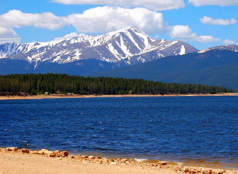
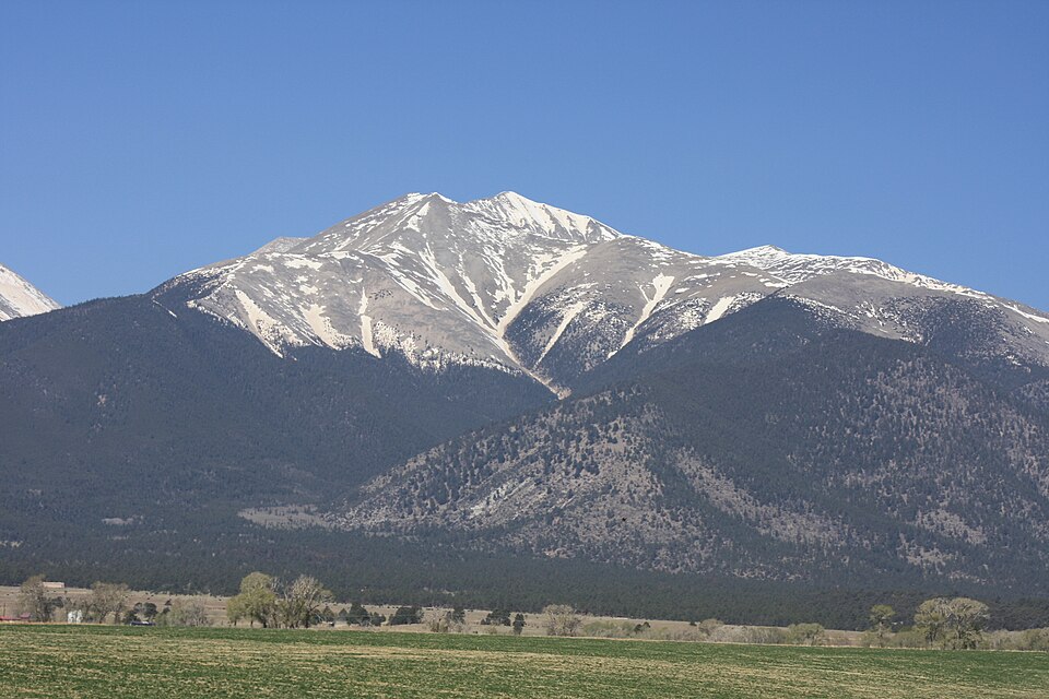
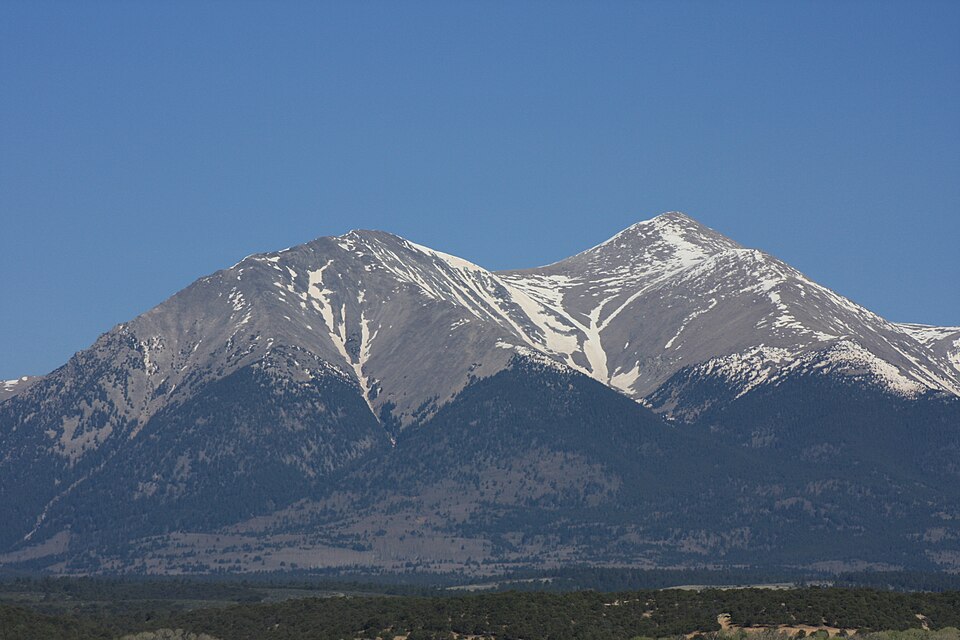
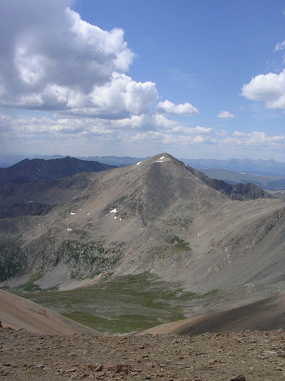
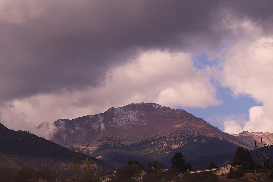
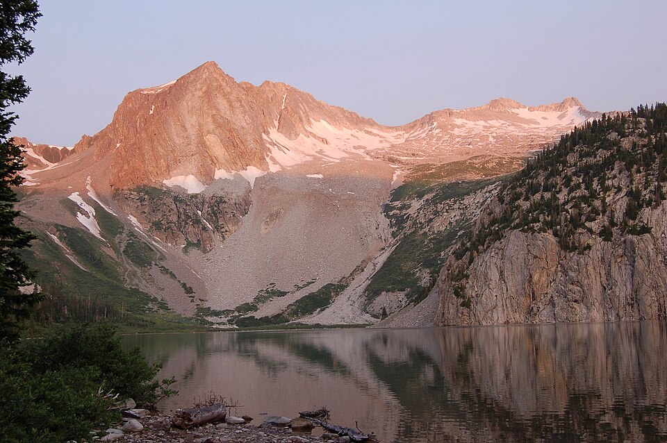
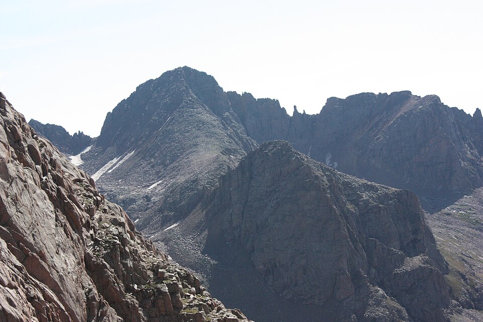
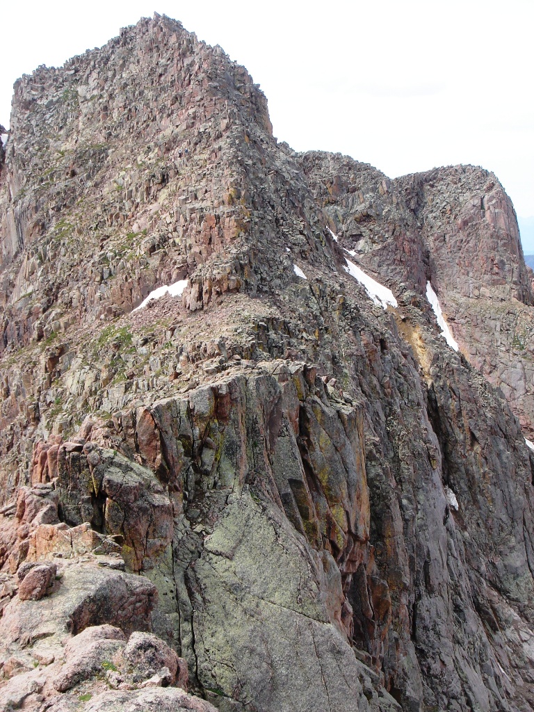
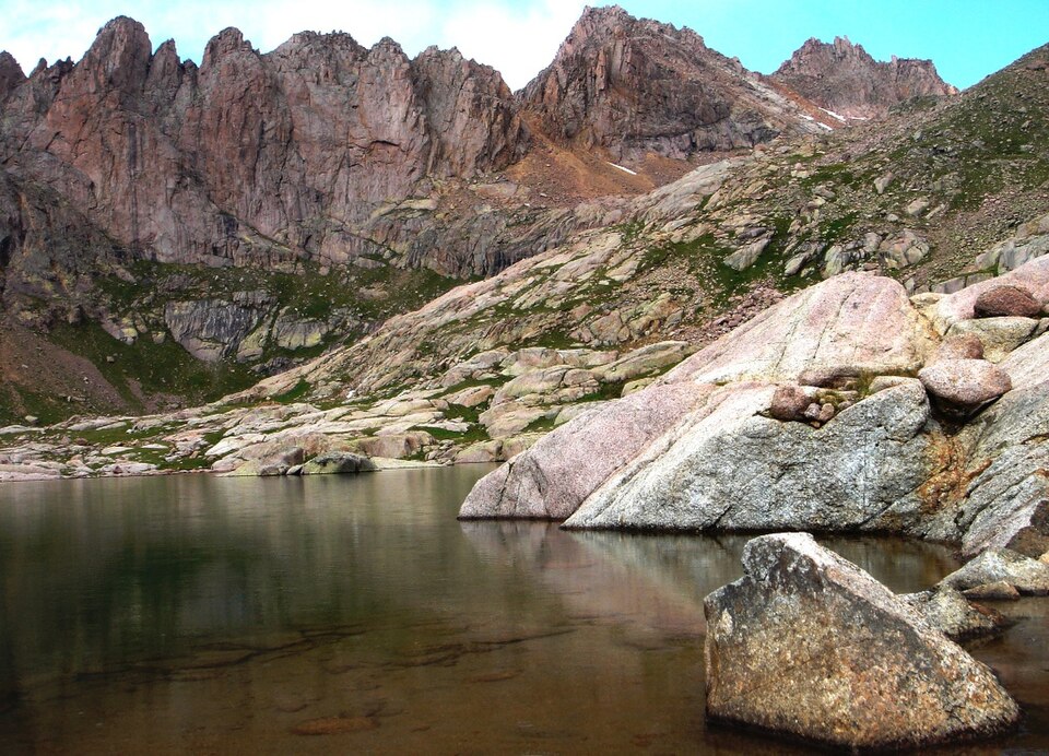
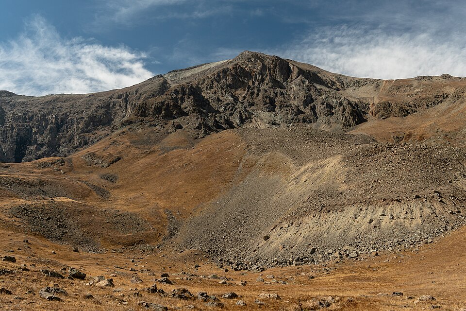
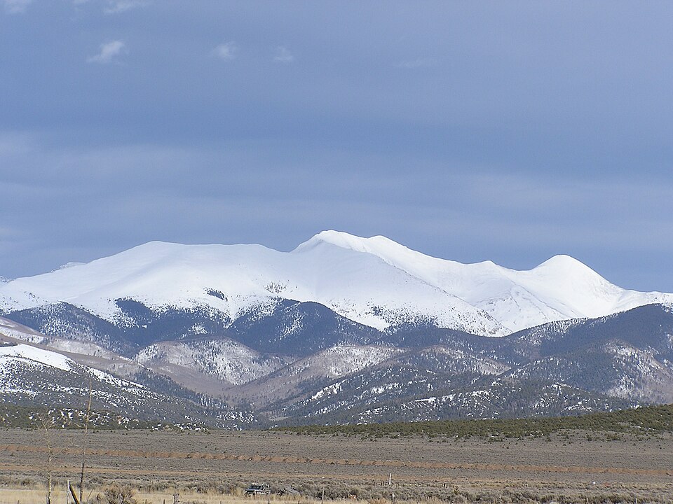
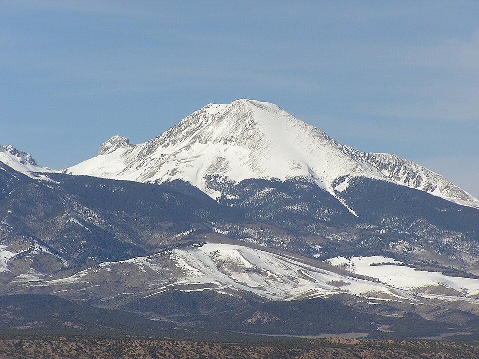
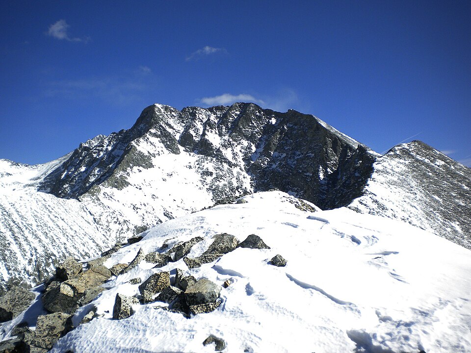
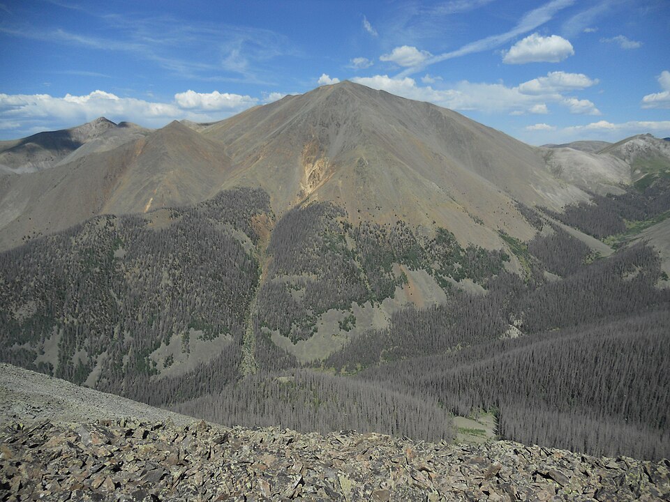
Sawatch Range
14,440 ft
Class 1 · 4,500 ft gain · 9.75 mi round trip (14ers.com, updated Aug 2026)
Trailhead: Mt. Elbert North, 10,040 ft
Photo: Hogs555 (talk · contribs), CC BY-SA 4.0, Wikimedia Commons
DirectionsMap
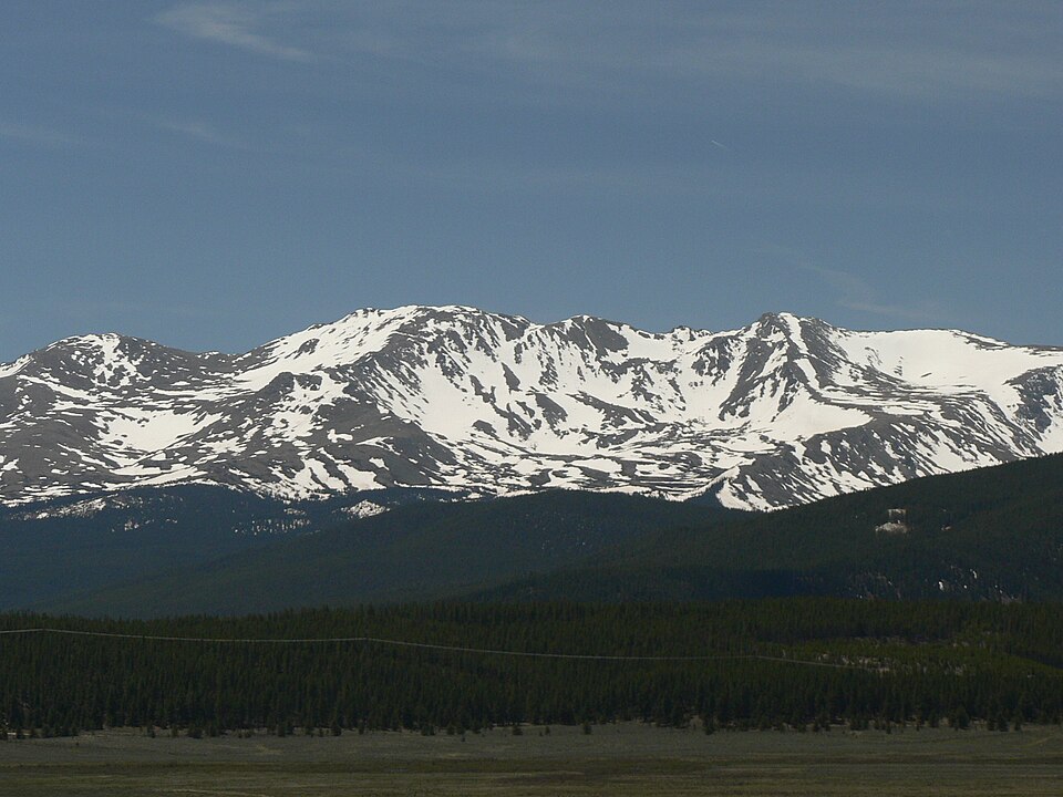
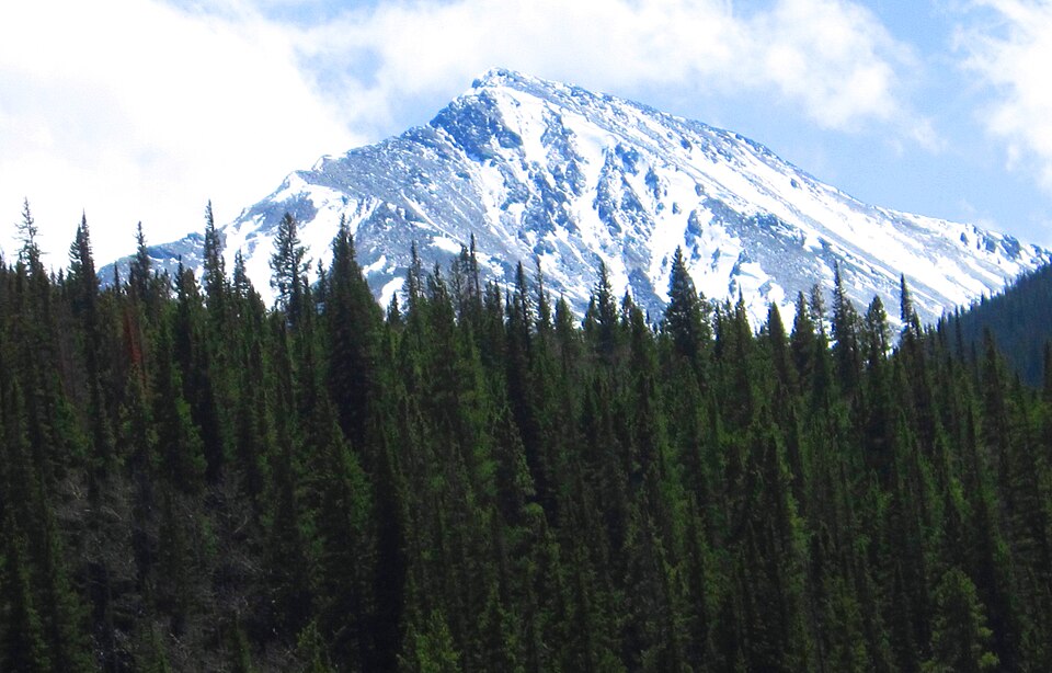
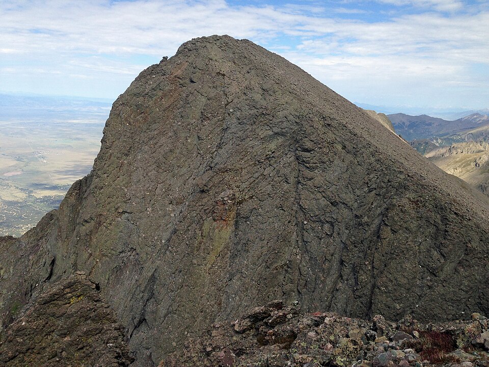
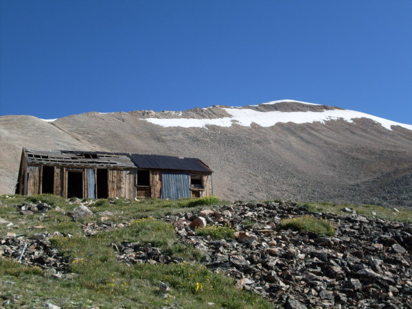
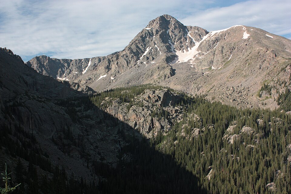
Sawatch Range
14,428 ft
Class 2 · 4,500 ft gain · 13.75 mi round trip (14ers.com, updated Jul 2026)
Trailhead: Mt. Massive, 10,080 ft
Photo: Rick Kimpel, Jr., Public domain, Wikimedia Commons
DirectionsMap
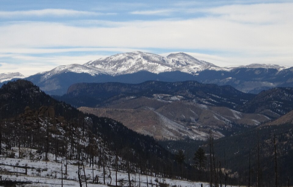
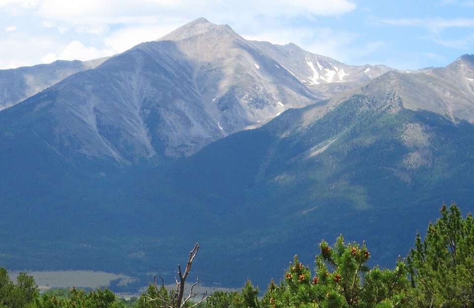
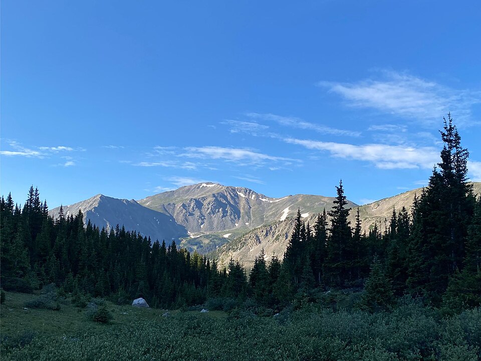
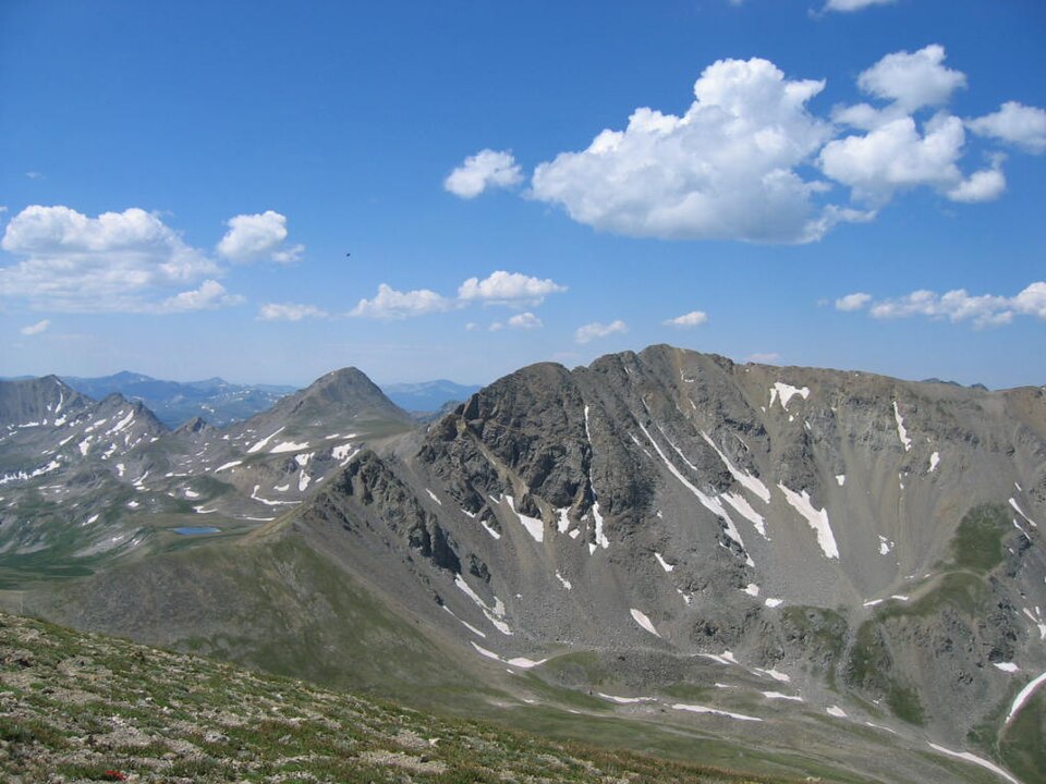
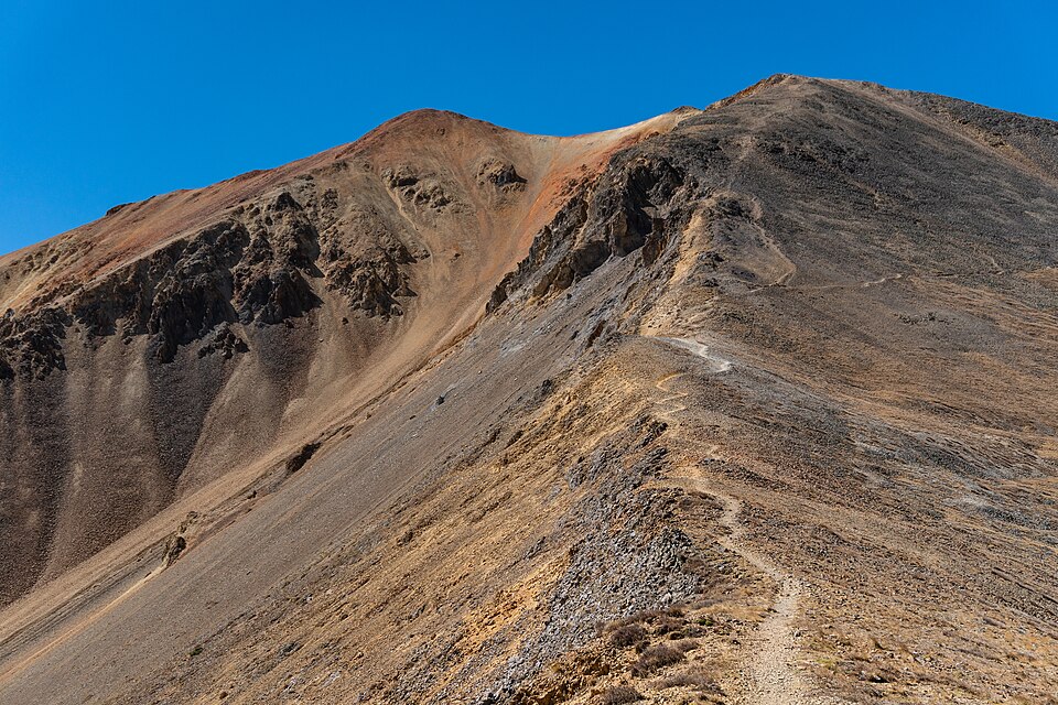
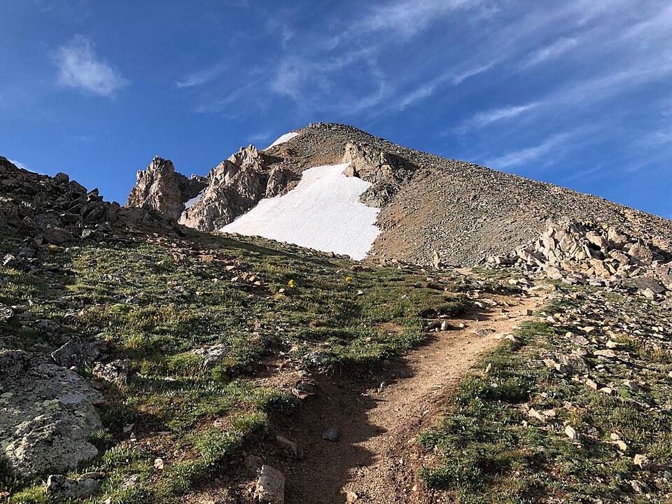
Sawatch Range
14,421 ft
Class 2 · 4,600 ft gain · 13.75 mi round trip (14ers.com, updated Aug 2026)
Trailhead: N. Cottonwood Creek, 9,900 ft
Photo: KnowledgeIsPower9281, CC BY-SA 4.0, Wikimedia Commons
DirectionsMap
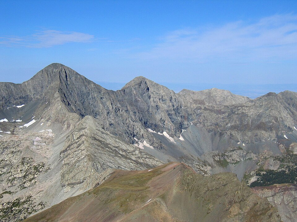
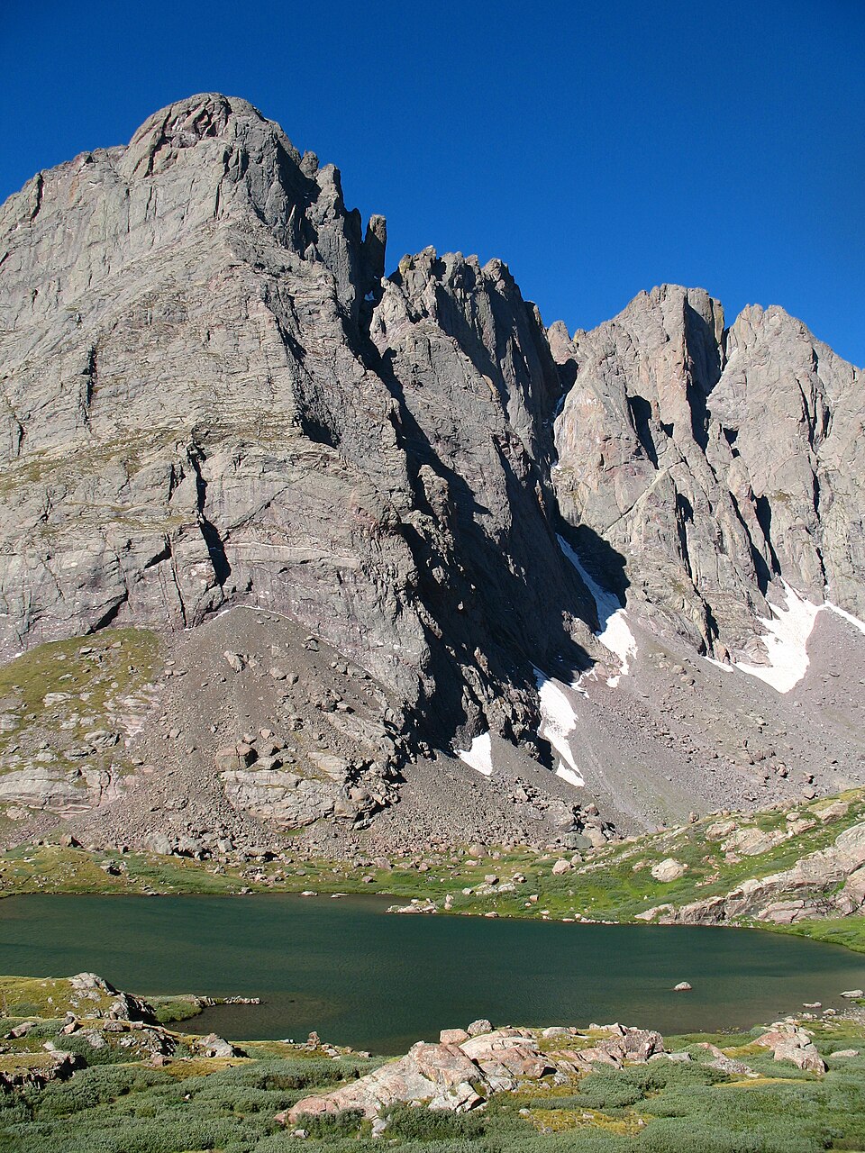
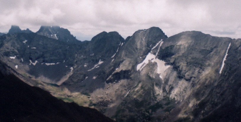
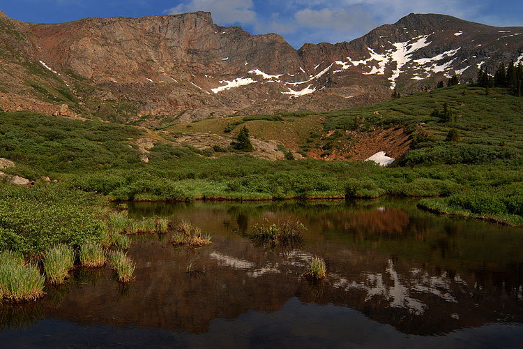
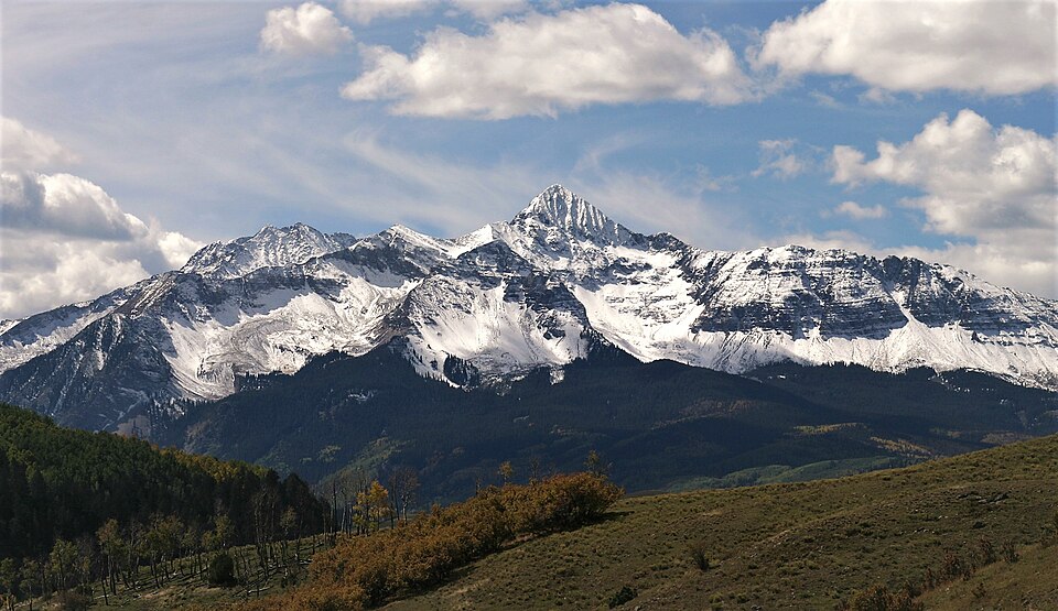
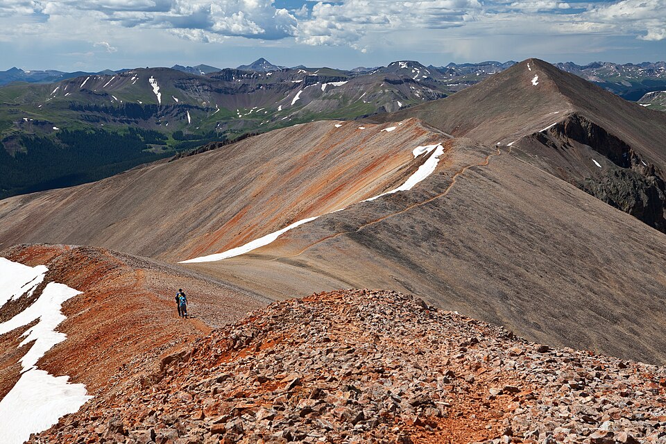
Sangre de Cristo Range
14,351 ft
Class 2 · 6,500 ft gain · 17 mi round trip (14ers.com, updated Jul 2026)
Trailhead: Lake Como (Blanca Pk), 8,000 ft
Photo: Meniscus (Wikimedia Commons), CC BY-SA 3.0, Wikimedia Commons
DirectionsMap
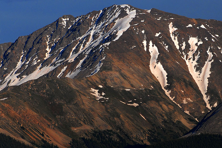
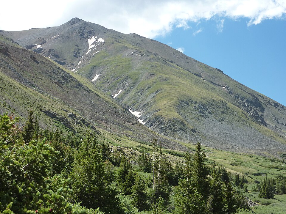
Sawatch Range
14,343 ft
Class 2 · 4,400 ft gain · 9.25 mi round trip (14ers.com, updated Aug 2026)
Trailhead: La Plata Peak, 10,150 ft
Photo: Robertbody at English Wikipedia, CC BY 3.0, Wikimedia Commons
DirectionsMap
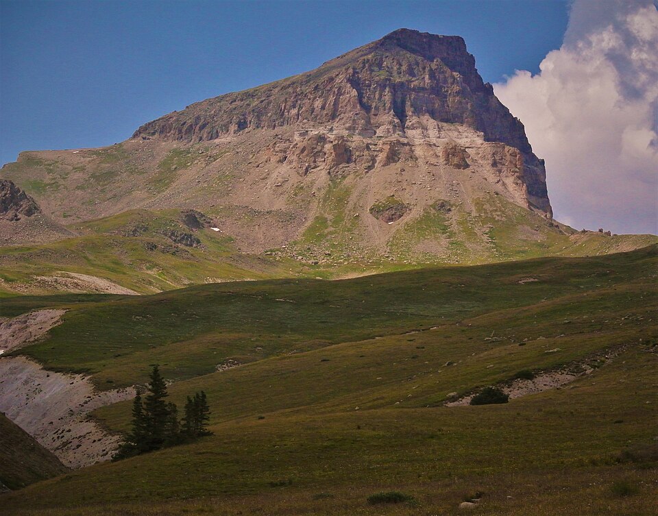
San Juan Mountains
14,321 ft
Class 2 · 3,000 ft gain · 7.5 mi round trip (14ers.com, updated Oct 2026)
Trailhead: Nellie Creek, 11,400 ft
Photo: due_mele from Nomads of Earth, CC BY 2.0, Wikimedia Commons
DirectionsMap
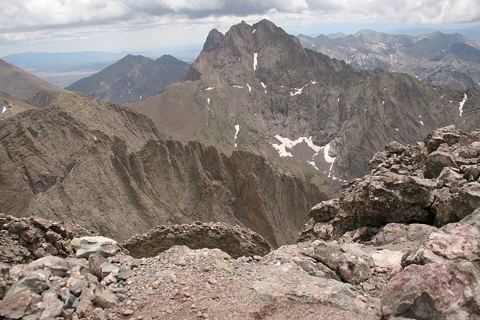
Sangre de Cristo Range
14,300 ft
Class 3 · 6,200 ft gain · 14 mi round trip (14ers.com, updated Aug 2026)
Trailhead: South Colony Lakes, 9,900 ft
Photo: Adam Ginsburg, CC BY-SA 2.5, Wikimedia Commons
DirectionsMap
Mosquito Range
14,293 ft
Class 2 · 2,600 ft gain · 6 mi round trip (14ers.com, updated Jul 2026)
Trailhead: Kite Lake, 12,000 ft
DirectionsMap
Elk Mountains (Colorado)
14,279 ft
Class 2 · 4,600 ft gain · 13.5 mi round trip (14ers.com, updated Sep 2026)
Trailhead: Castle Creek, 9,800 ft
DirectionsMap
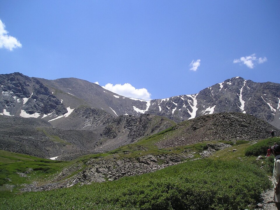
Front Range
14,278 ft
Class 1 · 3,000 ft gain · 7.5 mi round trip (14ers.com, updated Jul 2026)
Trailhead: Grays Peak, 11,280 ft
Photo: Daidipya, CC BY 2.0, Wikimedia Commons
GuideDirectionsMap
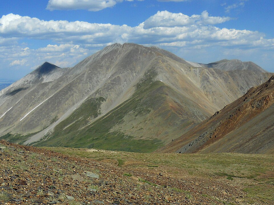
Sawatch Range
14,276 ft
Class 2 · 5,200 ft gain · 15.5 mi round trip (14ers.com, updated Jul 2026)
Trailhead: Baldwin Gulch, 9,400 ft
Photo: David Herrera from Albuquerque, NM, Bernalillo, CC BY 2.0, Wikimedia Commons
DirectionsMap
Front Range
14,275 ft
Class 1 · 3,000 ft gain · 7.75 mi round trip (14ers.com, updated Jul 2026)
Trailhead: Grays Peak, 11,280 ft
Photo: Hogs555, CC BY-SA 3.0, Wikimedia Commons
DirectionsMap
Front Range
14,271 ft
Class 2 · 2,000 ft gain · 5.5 mi round trip (14ers.com, updated Jul 2026)
Trailhead: Blue Sky Summit Lake, 12,850 ft
Photo: Hogs555, CC BY-SA 3.0, Wikimedia Commons
DirectionsMap
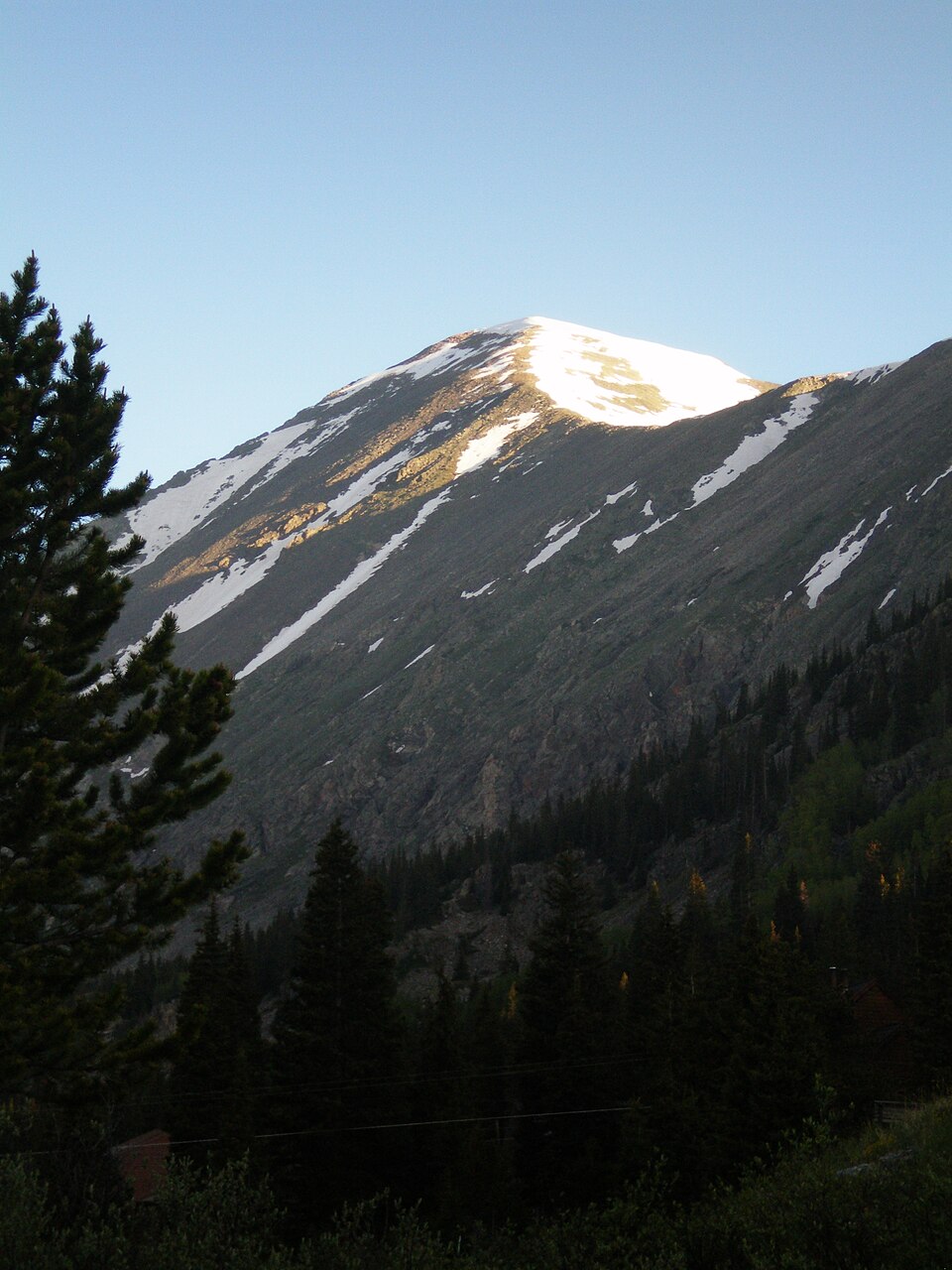
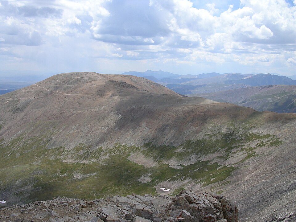
Mosquito Range
14,271 ft
Class 1 · 3,450 ft gain · 6.75 mi round trip (14ers.com, updated Jul 2026)
Trailhead: Quandary, 10,850 ft
Photo: Stargazer7121, Public domain, Wikimedia Commons
DirectionsMap
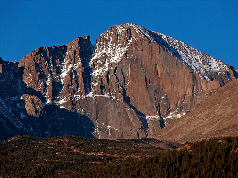
Front Range
14,259 ft
Class 3 · 5,100 ft gain · 14.5 mi round trip (14ers.com, updated Jul 2026)
Trailhead: Longs Peak, 9,400 ft
Photo: Original uploader was ProfPete (Pete Seel) at en.wikipedia, CC BY-SA 3.0, Wikimedia Commons
DirectionsMap
San Miguel Mountains
14,252 ft
Class 3 · 4,400 ft gain · 12.5 mi round trip (14ers.com, updated Aug 2026)
Trailhead: Kilpacker basin, 10,100 ft
DirectionsMap
Sawatch Range
14,231 ft
Class 2 · 4,500 ft gain · 10 mi round trip (14ers.com, updated Oct 2026)
Trailhead: Shavano/Tabeguache, 9,775 ft
Photo: David Herrera from Albuquerque, NM, Bernalillo, CC BY 2.0, Wikimedia Commons
DirectionsMap
Sawatch Range
14,204 ft
Class 2 · 3,200 ft gain · 6.5 mi round trip (14ers.com, updated Jul 2026)
Trailhead: Mt. Princeton Road, 8,900 ft
Photo: Hogs555, CC BY-SA 3.0, Wikimedia Commons
DirectionsMap
Sangre de Cristo Range
14,203 ft
Class 4 · 4,700 ft gain · 11.5 mi round trip (14ers.com, updated Aug 2026)
Trailhead: South Colony Lakes, 9,900 ft
Photo: Meniscus, Public domain, Wikimedia Commons
DirectionsMap
Sawatch Range
14,203 ft
Class 2 · 4,500 ft gain · 8 mi round trip (14ers.com, updated Jul 2026)
Trailhead: Missouri Gulch, 9,650 ft
Photo: Simpsora, CC BY 3.0, Wikimedia Commons
DirectionsMap
Sawatch Range
14,200 ft
Class 2 · 4,300 ft gain · 9.5 mi round trip (14ers.com, updated Jul 2026)
Trailhead: Denny Creek, 9,900 ft
Photo: KnowledgeIsPower9281, CC BY-SA 4.0, Wikimedia Commons
DirectionsMap
Mosquito Range
14,178 ft
Class 2 · 2,250 ft gain · 3.25 mi round trip (14ers.com, updated Jul 2026)
Trailhead: Kite Lake, 12,000 ft
Photo: Matt Vincent at English Wikipedia, CC BY-SA 3.0, Wikimedia Commons
DirectionsMap
Sangre de Cristo Range
14,171 ft
Class 3 · 6,250 ft gain · 15 mi round trip (14ers.com, updated Jul 2026)
Trailhead: Willow Creek, 8,850 ft
Photo: Leahcim506 at English Wikipedia, Public domain, Wikimedia Commons
DirectionsMap
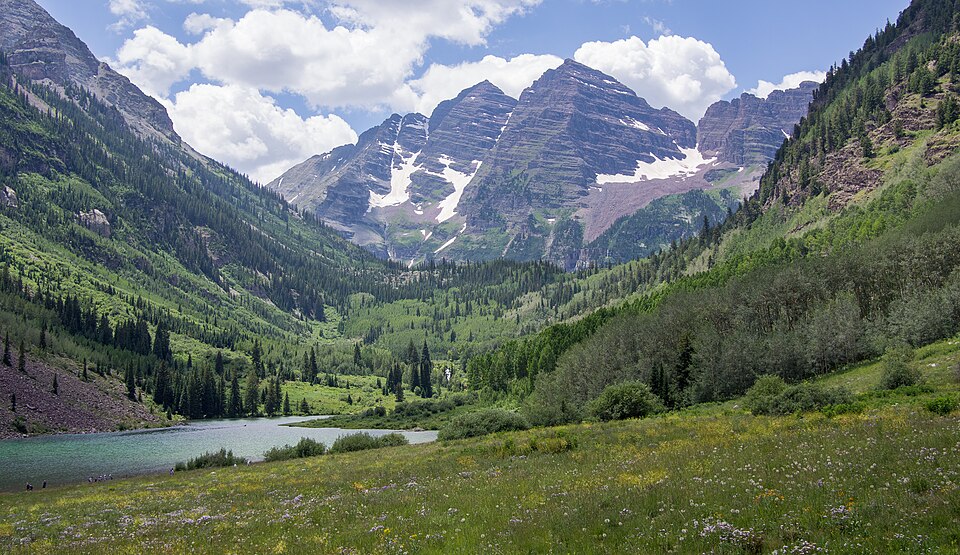
Elk Mountains (Colorado)
14,163 ft
Class 3 · 4,800 ft gain · 12 mi round trip (14ers.com, updated Aug 2026)
Trailhead: Maroon Lake, 9,590 ft
Photo: Rhododendrites, CC BY-SA 4.0, Wikimedia Commons
DirectionsMap
Sawatch Range
14,162 ft
Class 2 · 5,600 ft gain · 12 mi round trip (14ers.com, updated Oct 2026)
Trailhead: Shavano/Tabeguache, 9,775 ft
Photo: John Sowell, CC BY-SA 4.0, Wikimedia Commons
DirectionsMap
Collegiate Peaks
14,160 ft
Class 2 · 5,900 ft gain · 11 mi round trip (14ers.com, updated Jul 2026)
Trailhead: Missouri Gulch, 9,650 ft
DirectionsMap
Sneffels Range
14,158 ft
Class 3 · 2,900 ft gain · 6 mi round trip (14ers.com, updated Jul 2026)
Trailhead: Yankee Boy Basin, 12,460 ft
Photo: de Bivort 21:57, 8 April 2008 (UTC), CC BY-SA 3.0, Wikimedia Commons
DirectionsMap
Mosquito Range
14,155 ft
Class 2 · 2,150 ft gain · 4 mi round trip (14ers.com, updated Jul 2026)
Trailhead: Kite Lake, 12,000 ft
Photo: Mofussy at English Wikipedia, CC BY-SA 3.0, Wikimedia Commons
DirectionsMap
Elk Mountains (Colorado)
14,137 ft
Class 4 · 5,300 ft gain · 17 mi round trip (14ers.com, updated Aug 2026)
Trailhead: Capitol Creek, 9,450 ft
DirectionsMap
Front Range
14,115 ft
Class 1 · 7,600 ft gain · 24 mi round trip (14ers.com, updated Jul 2026)
Trailhead: Manitou Springs, 6,650 ft
Photo: Tokeamour, CC BY-SA 4.0, Wikimedia Commons
DirectionsMap
Elk Mountains (Colorado)
14,099 ft
Class 3 · 5,800 ft gain · 22 mi round trip (14ers.com, updated Jul 2026)
Trailhead: Snowmass Creek, 8,400 ft
Photo: Nelsestu at English Wikipedia, Public domain, Wikimedia Commons
DirectionsMap
Needle Mountains
14,093 ft
Class 3 · 3,000 ft gain · 6 mi round trip (14ers.com, updated Aug 2026)
Trailhead: Needleton, 8,220 ft
Photo: Jeremiah LaRocco, CC BY-SA 2.0, Wikimedia Commons
DirectionsMap
San Juan Mountains
14,090 ft
Class 3 · 3,100 ft gain · 6 mi round trip (14ers.com, updated Aug 2026)
Trailhead: Needleton, 8,220 ft
Photo: Evil.Satellite at English Wikipedia, Public domain, Wikimedia Commons
DirectionsMap
Sangre de Cristo Range
14,087 ft
Class 2 · 5,400 ft gain · 13.5 mi round trip (14ers.com, updated Jul 2026)
Trailhead: Willow Creek, 8,850 ft
Photo: Fredlyfish4, CC BY-SA 3.0, Wikimedia Commons
DirectionsMap
Sawatch Range
14,077 ft
Class 2 · 4,250 ft gain · 12 mi round trip (14ers.com, updated Jul 2026)
Trailhead: N. Cottonwood Creek, 9,900 ft
DirectionsMap
Sawatch Range
14,074 ft
Class 2 · 4,500 ft gain · 10.5 mi round trip (14ers.com, updated Jul 2026)
Trailhead: Missouri Gulch, 9,650 ft
Photo: jokermanj, CC BY 2.0, Wikimedia Commons
DirectionsMap
Sangre de Cristo Range
14,070 ft
Class 2 · 4,300 ft gain · 10.5 mi round trip (14ers.com, updated Aug 2026)
Trailhead: South Colony Lakes, 9,900 ft
DirectionsMap
Front Range
14,065 ft
Class 2 · 2,850 ft gain · 7.25 mi round trip (14ers.com, updated Jul 2026)
Trailhead: Guanella Pass, 11,650 ft
Photo: Robertbody at English Wikipedia, CC BY 3.0, Wikimedia Commons
DirectionsMap
San Juan Mountains
14,065 ft
Class 4 · 3,000 ft gain · 6 mi round trip (14ers.com, updated Aug 2026)
Trailhead: Needleton, 8,220 ft
Photo: Evil.Satellite at English Wikipedia, Public domain, Wikimedia Commons
DirectionsMap
San Juan Mountains
14,058 ft
Class 1 · 2,500 ft gain · 5.75 mi round trip (14ers.com, updated Jul 2026)
Trailhead: American Basin, 11,600 ft
Photo: Mitchtobin, CC BY-SA 4.0, Wikimedia Commons
DirectionsMap
Culebra Range
14,053 ft
Class 2 · 2,750 ft gain · 5 mi round trip (14ers.com, updated Jul 2026)
Trailhead: Culebra (Main), 9,100 ft
Photo: David Herrera from Albuquerque, NM, Bernalillo, CC BY 2.0, Wikimedia Commons
DirectionsMap
Sangre de Cristo Range
14,048 ft
Class 2 · 6,200 ft gain · 17 mi round trip (14ers.com, updated Jul 2026)
Trailhead: Lake Como (Blanca Pk), 8,000 ft
DirectionsMap
Sangre de Cristo Range
14,048 ft
Class 3 · 3,500 ft gain · 8.25 mi round trip (14ers.com, updated Jul 2026)
Trailhead: Huerfano/Lily Lake, 10,700 ft
Photo: David Herrera from Albuquerque, NM, Bernalillo, CC BY 2.0, Wikimedia Commons
DirectionsMap
Sangre de Cristo Range
14,043 ft
Class 4 · 6,200 ft gain · 14 mi round trip (14ers.com, updated Jul 2026)
Trailhead: Lake Como (Blanca Pk), 8,000 ft
Photo: Stargazer7121, CC BY-SA 3.0, Wikimedia Commons
DirectionsMap
Mosquito Range
14,043 ft
Class 1 · 2,100 ft gain · 5.25 mi round trip (14ers.com, updated Jul 2026)
Trailhead: Fourmile Creek, 12,000 ft
Photo: Stargazer7121, Public domain, Wikimedia Commons
DirectionsMap
San Juan Mountains
14,041 ft
Class 2 · 3,700 ft gain · 9 mi round trip (14ers.com, updated Jul 2026)
Trailhead: Silver Crk/Grizzly Gulch, 10,400 ft
Photo: Mitchtobin, CC BY-SA 4.0, Wikimedia Commons
DirectionsMap
Elk Mountains (Colorado)
14,025 ft
Class 4 · 4,500 ft gain · 8.25 mi round trip (14ers.com, updated Jul 2026)
Trailhead: Maroon Lake, 9,590 ft
DirectionsMap
San Juan Mountains
14,023 ft
Class 3 · 3,900 ft gain · 10 mi round trip (14ers.com, updated Jul 2026)
Trailhead: Rock of Ages, 10,400 ft
Photo: Scott Ellis, CC BY-SA 2.0, Wikimedia Commons
DirectionsMap
La Garita Mountains
14,022 ft
Class 1 · 3,600 ft gain · 13.5 mi round trip (14ers.com, updated Jul 2026)
Trailhead: Stewart Creek, 10,500 ft
Photo: John Sowell, CC BY-SA 4.0, Wikimedia Commons
DirectionsMap
San Juan Mountains
14,021 ft
Class 3 · 3,300 ft gain · 7 mi round trip (14ers.com, updated Jul 2026)
Trailhead: Matterhorn Creek, 10,800 ft
DirectionsMap
Sawatch Range
14,011 ft
Class 2 · 5,600 ft gain · 11.25 mi round trip (14ers.com, updated Jul 2026)
Trailhead: Half Moon Pass, 10,320 ft
Photo: Jeremiah LaRocco, CC BY-SA 2.0, Wikimedia Commons
DirectionsMap
Sawatch Range
14,010 ft
Class 2 · 3,500 ft gain · 7 mi round trip (14ers.com, updated Jul 2026)
Trailhead: S. Winfield/Lake Ann, 10,575 ft
Photo: Craig Talbert, CC BY 2.0, Wikimedia Commons
DirectionsMap
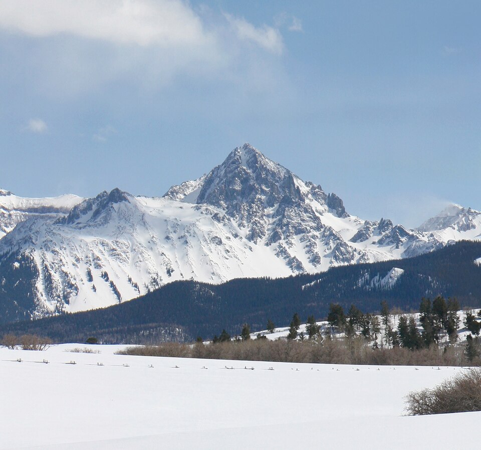
San Juan Mountains
14,007 ft
Class 2 · 4,800 ft gain · 12.25 mi round trip (14ers.com, updated Jul 2026)
Trailhead: Silver Crk/Grizzly Gulch, 10,400 ft
Photo: Bob Wick; Bureau of Land Management, Public domain, Wikimedia Commons
DirectionsMap
 asharedpalate.com